Trails of JDSF: Our Favorite Routes and Loops
The maps and the routes linked below are all of varying degrees of difficulty, but in often remote locations which can go days without seeing any traffic and which have no cell reception. Users must be prepared with first aid equipment and knowledge, food and water, should have a partner, and possibly an emergency blanket. Do not overestimate your ability and do not go where you won’t be able to find your way back.
CAL FIRE, the state agency managing these lands, has resisted effective signage or mapping for years. This is likely due to their limited mandate to manage the forest first and foremost for commercial timber production, with very little money coming back to support the ever-increasing numbers of enthusiastic but uninformed trail users. The network of official and unofficial trails, gated roads, overgrown dirt roads, and old skid roads is labyrinthine and mostly has no cell coverage. Our comprehensive map is not meant to lead you but to orient you and keep you safe. To obtain a geo-referenced version of this map, usable with Avenza and other apps, email us at mendocinotrailstewards@gmail.com.
Jump to Section: Trails Summary Trailhead Locations Trail Etiquette Trails Background Day Trip Backpack
Trails Summary
*Click loop name for more information
**Click column titles to sort
| Loop Name | Starting Point | Skill Level | Length (mi) | Elevation Gain (ft) | Permitted Users |
|---|---|---|---|---|---|
| Caspar Classic Loop | Caspar Scales | Intermediate to Advanced | 10.2 | 1620 | Mountain Bike, Equestrians, Trail Running |
| Jiro's Playground | EOP | Easy/Intermediate | 7 | 607 | Gravel/Mountain Bikes, Trail Running, Walking |
| Endo Oh No Plunge | EOP | Intermediate/Advanced | 11 | 1507 | Mountain Biking Only |
| High Chute | Road 720 | Easy/Intermediate | 12.1 | 1196 | Gravel/Mountain Bikes, Equestrians, Trail Running |
| Speedway Miracle Mile Loop | Jughandle Boardwalk | Intermediate | 6 | 366 | Mountain Bikes, Trail Running, Walking |
| Caspar Sweet Pea Observatory Loop | EOP | Intermediate | 12.8 | 1355 | Mountain Bikes, Trail Running |
| RBG (Caspar Orchard) | Caspar Scales | Intermediate | 9.9 | 955 | Gravel/Mountain Bikes, Trail Running, Equestrians, Walking |
| The Caspar Cruiser Loop | Just Past EOP | Easy/Intermediate | 4.2 | 305 | Mountain Biking, Trail Running, Walking |
| Big River Haul Road & Trail | Big River Beach | Easy | 13-15 | 500 | Gravel/Mountain Bikes, Equestrians, Trail Running, Walking |
| Upper Woodlands | Road 720 | Intermediate/Advanced | 12 | 2228 | Trail Running, Mountain Bikes |
| Lower Woodlands | Rd 409/408 Junction | Intermediate/Advanced | 12.2 | 2329 | Trail Running, Mountain Bikes |
| Simpson Loop | Simpson Lane | Easy | 3.1 | 255 | Trail Running, Walking |
Trailhead Locations/Starting Points
Caspar Scales Trailhead:
No Cell Reception
Head North 4 miles from the stoplight on Hwy 1 in Mendocino or South 3 miles from the stoplight at the bottom of Hwy 20; turn East on Fern Creek Road; go 1/2 mile and turn right on Caspar Orchard Road; after 1/4 mile continue straight and then veer left on Caspar Logging Road; after 3/4 mile the road widens and splits. You will see a kiosk. This is Caspar Scales.
Gravel Pit:
Some Cell Reception
EOP Trailhead (Rd 409):
No Cell Reception
Head North 3.4 miles from the stoplight on Hwy 1 in Mendocino or South 3.5 miles from the stoplight at the bottom of Hwy 20; turn East on Road 409; head uphill 3.4 miles and park where the pavement ends. Parallel Action, the main feeder trail, heads North from the other side of a log just past the end of pavement. ㅤ⠀
Jughandle Boardwalk:
No Cell Reception
The Jughandle State Park Pygmy Terrace Trail is off limits to bikes, but the Gibney Lane Fire Extension is open to all non-motorized travel from the top of Gibney Lane to Mitchell Creek Road.
Road 720 Trailhead:
Some Cell Reception
Head up Little Lake Road from the town of Mendocino approximately 4 miles. On your right you will see Road 720, a wide road opening with a yellow gate. ㅤ ⠀ ㅤ ㅤㅤ ⠀ ㅤ ㅤㅤ ⠀ ㅤ ㅤㅤ ⠀ ㅤ ㅤ⠀
More Coming Soon

Trail Etiquette—How to Keep The Peace on The Paths
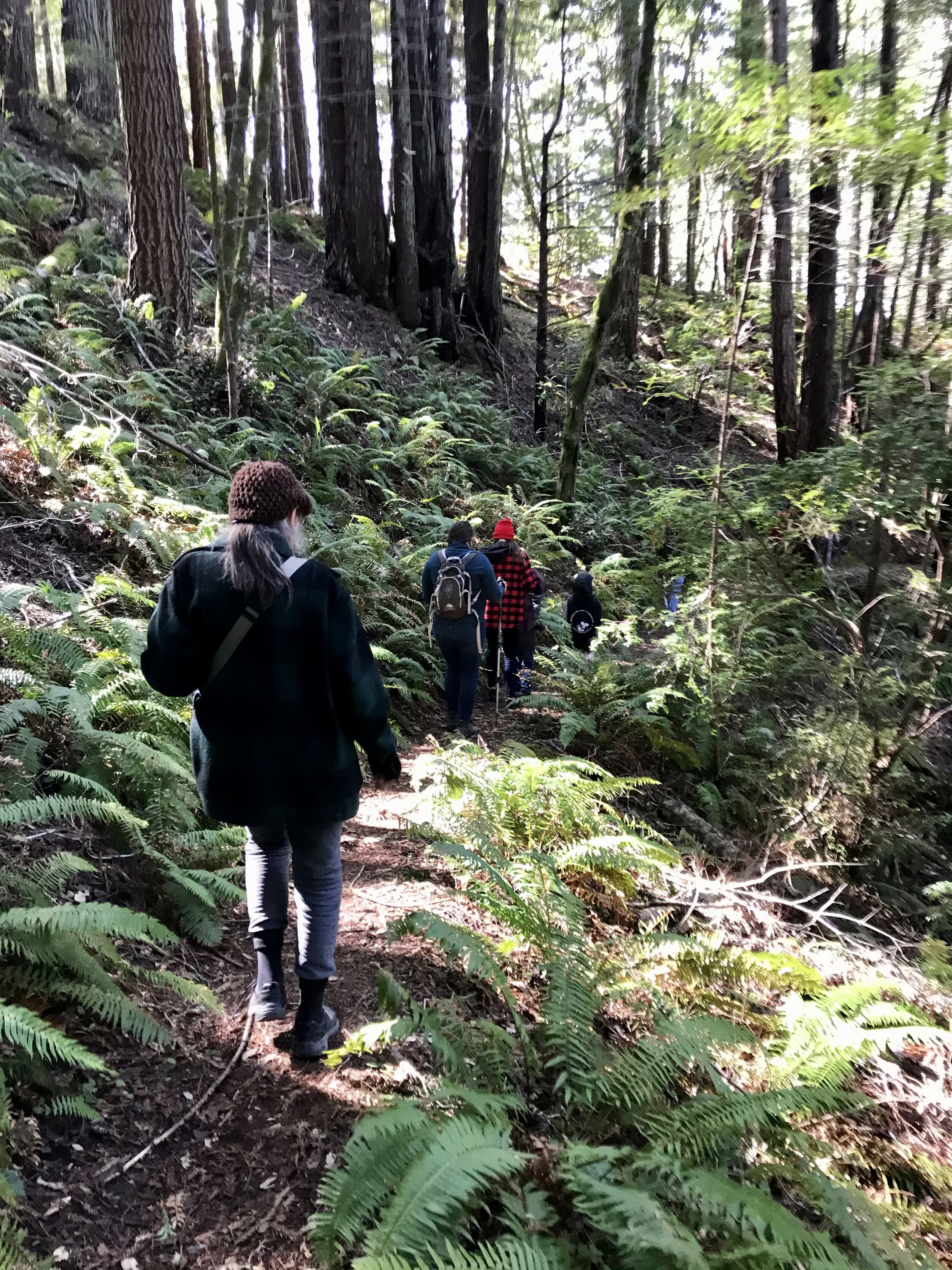
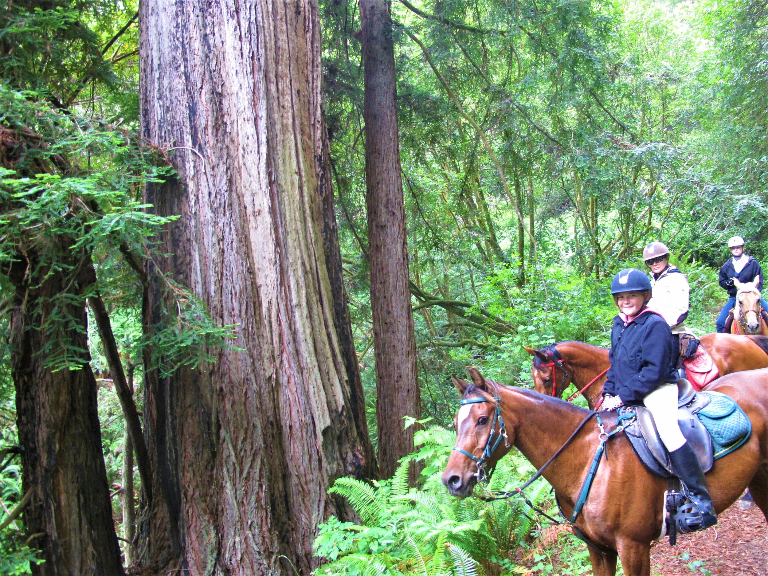
Most Jackson trails are open to cyclists, walkers, and horses. Others, such as the Waterfall Trail, off of Road 200, are open only to foot traffic. These simple guidelines should always be followed:
~Use open trails only—when trails are closed, it is for a good reason—even if you can't discern what it is.
~Leave no trace—pack out at least as much as you pack in.
~Control your bike, horse, donkey, llama, dog, or self—if you are going too fast to stop for a slide in the trail, you are going too fast to stop for a horse or child. Look ahead, listen, and announce yourself by voice or with a bell on blind corners.
~Yield appropriately--Horses take priority-they are biggest and a high-speed chance encounter can cause injury or even death. Bikes are fastest with no brain of their own—cyclists use your senses to yield your bikes to all other users. Pedestrians can step off the trail most easily, a handy trait when a group of cyclists goes by, but bikes still must yield.
~Never scare animals—this should go without saying, but we like to have our fun. A startled, frightened, or cornered bear, mountain lion, or even skunk can cause severe damage to you or someone else on the trail.
~Always plan ahead—know what you will do in any of the above situations before you have to decide on the fly. Respect the trail itself: avoid mud if possible, don't cut corners, don't make new trails where you don't like the route of the old one.

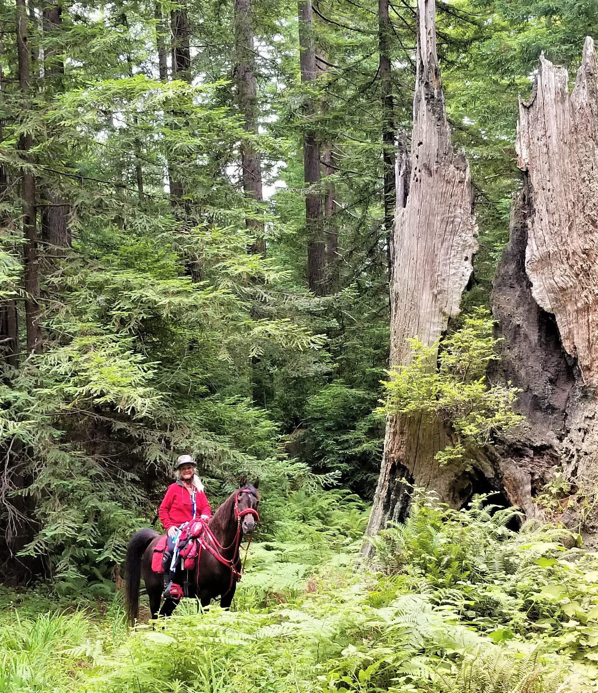
Calamity’s Tips for Meeting Horses on the Trail
Calamity Paul has been riding for 60 years and helping run horse events in JDSF since 1982, in partnership with her husband and farrier Steve Eliason. Together they managed the Chamberlain Creek 50 mile endurance ride from 1992 to 1997 and have been working with the present manager since then.
“One thing we always ask cyclists to do is talk to the horses so they know you are human. Horses are prey animals, so anything coming up silently is a danger to them. They will react accordingly, bolting, with the flight or fight response. They can be unpredictable giants, and can break a skull with their hooves, toss an unprepared rider into a tree, or worse. My favorite line to describe the horse: 'they weigh over 1000 pounds and can kill you.' Horses have a mind of their own. Horseback riding is the only sport where the implement has a brain.”

Background
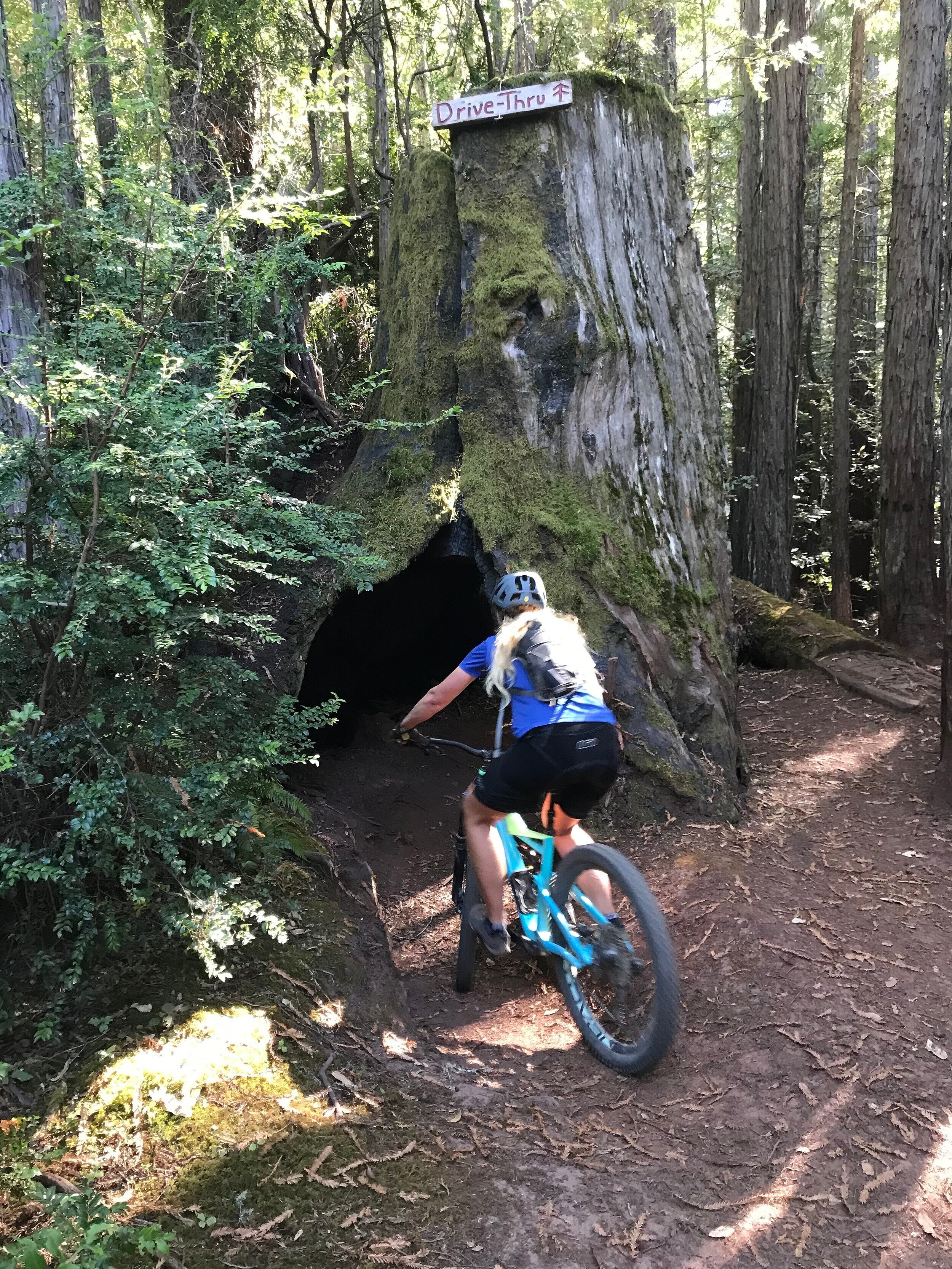
The trails of Jackson have a mixed and obscure history. The earliest were created by the Indigenous Pomo and Yuki Peoples, connecting their Summer and Winter villages. Later trails such as Manly Gulch were probably constructed by tan barkers who used tan oak to dye leather, then may have been improved by the CCC after they constructed the Mendocino Woodlands Demonstration Campground.
By the 1980s, there were still few trails in JDSF. Trail work was primarily being done by equestrians, who improved the Old Sherwood Trail, recreated the Bob Woods trail from an older Pomo route, and laid the groundwork for the Caspar area trail. Locals and mushroom foragers were beating new paths with their feet, outlaw motorcyclists were creating routes on old skid roads, and mountain bikes were just becoming popular.
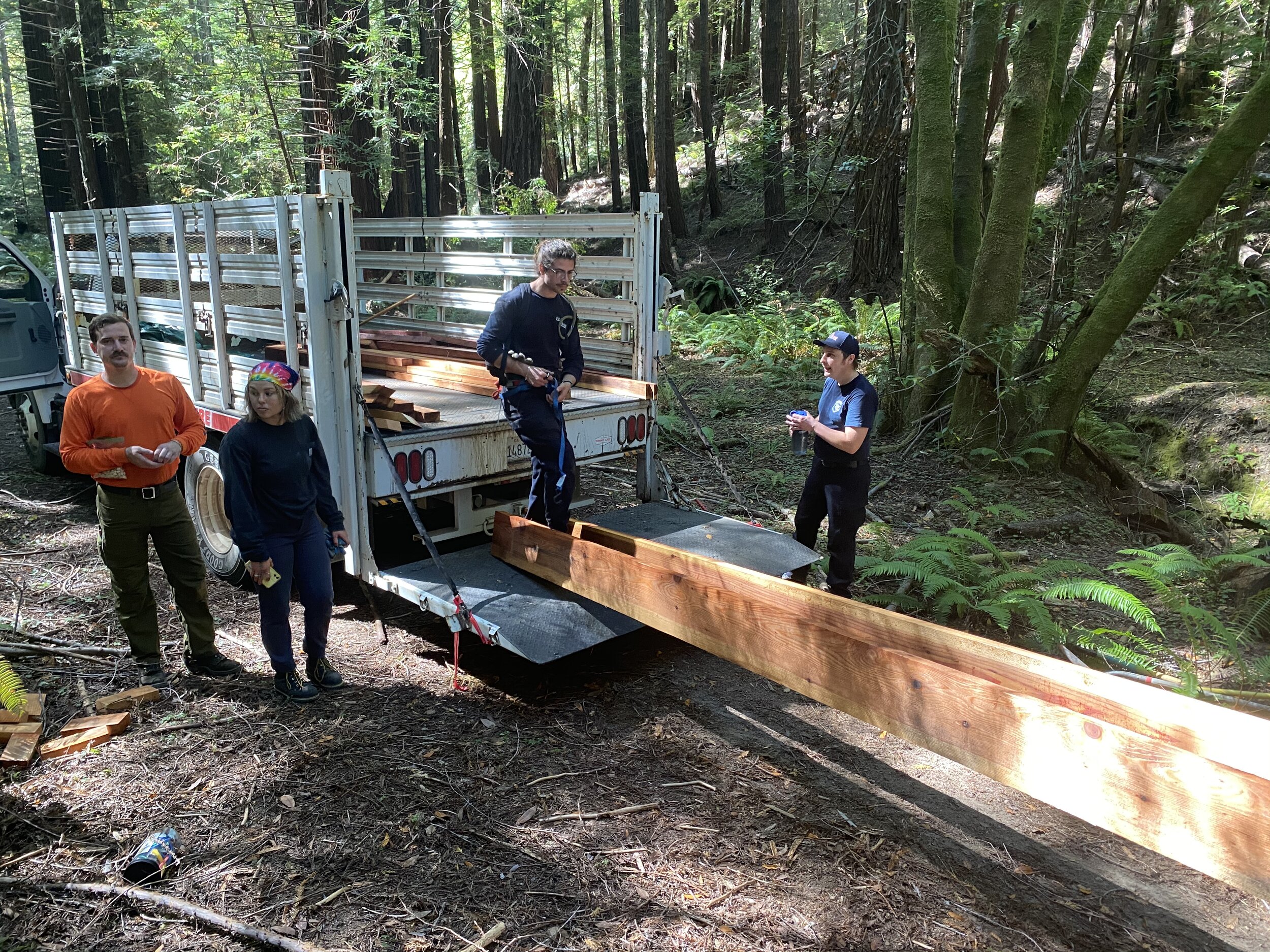
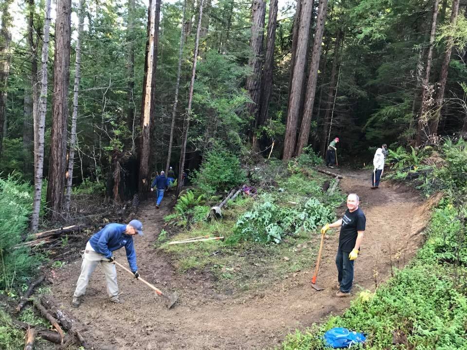
By the 1990s, the Mendocino Coast population was increasing and many more people were heading into the woods. The majority of equestrians stopped riding in Caspar to avoid the explosion of new bicyclists (See the bottom below the routes for trail etiquette). Nearly every new trail since then has been constructed by mountain bikers—though they are open to all users. Ongoing trail maintenance is primarily done either ad-hoc, on the monthly trail days organized by Nick Taylor of the Mendocino Coast Cyclists, with the cooperation and assistance of Cal Fire.
Your Daytrip Backpack for Emergency Survival

“But I’m only going four miles...”
That may be your intention, but once you have set out, you don’t know where your trail will lead. There are many places in Jackson State Forest where people pass quite infrequently. Even experienced outdoors types can slip into a ravine, injure themselves, and be stuck for a long period of time. Trails are mostly unmarked and cell reception is non-existent except on certain ridges. If you are going out alone, even for what you think will be just an hour or two, bring a backpack with the following survival supplies:
Essential for Any Forest Traveler
Extra food
An emergency blanket
A basic first aid kit and knowledge of how to use it
At least 4 benadryl or zyrtec antihistamine tablets in case you or someone you run into is having an anaphylactic or other allergic reaction
If you are over fifty years old, aspirin to munch on in case of a heart attack
An emergency whistle
Important Extras to Consider
Bike tools and a pump if you’re a cyclist
A pocket knife
Some paracord and or zip ties
A Personal Locator Beacon and knowledge of how to use it
A downloaded map that is usable offline
A lightweight, foldable hand saw
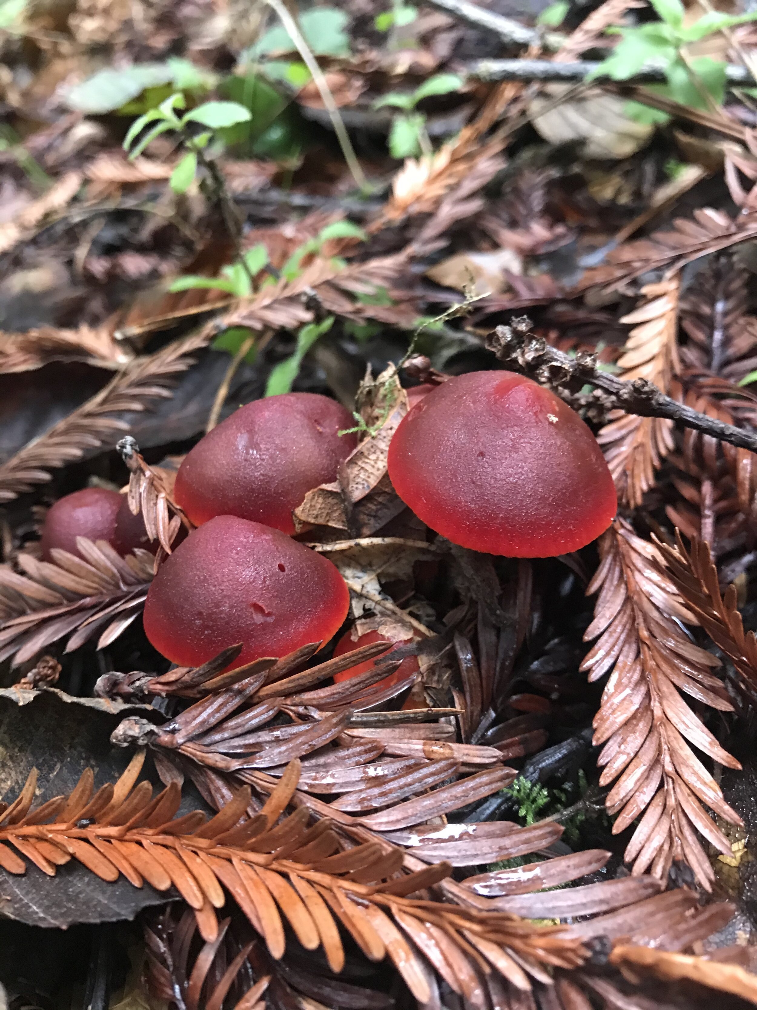
A foldable backpack in case of a special mushroom find!

Routes & Loops & Out and Backs
The Caspar Classic Loop
Mountain Biking - Trail Running - Contributed by Roo Harris
10.20 Miles - - - 1,620 Vertical Feet - - - Intermediate/Advanced - - - Starts from Caspar Scales
For years, the Caspar Classic Mountain Bike Race has been one of the least known great rides in Northern California. In 2020 the race was canceled due to Covid-19, but the course is still there and rideable. Although the trail is only 10.20 miles long with 1,620 feet of elevation gain, it is a moderate to difficult loop with everything thrown at you—from sustained climbs and tricky turns to steep, rolling, rutted (Jim’s Trail) downhill sections—classic Jackson State riding. Whatever your method of travel, enjoy the trail! This course is within the Caspar 500 THP, but this cut may be postponed. Ride the loop now!
Ride With GPS Course Link
Jiro’s Playground Loop—with Nitro & Confusion Hill
Cycling, Trail Running, Walking - Contributed by Roo Harris and Chad Swimmer
7 Miles - - - 676 Vertical Feet - - - Easy Intermediate - - - Starts from EOP (Rd 409)
This is a great loop for mountain bikers and trail runners, truly a single track playground. The terrain is twisty and challenging, most of the forest lovely (except the stretch through a 2018 timber harvest plan) and the end is really speedy… but watch out for traffic coming your way. No head-on collisions allowed.
Ride With GPS Course Link
The Endo Oh No Plunge
Mountain Biking Only - Contributed by Chad Swimmer
11 Miles - - - 1,507 Vertical Feet - - - Advanced - - - Starts from EOP (Rd 409)
This challenging loop is harder than the stats imply. It is not that technical, but the steep downhill switchbacks on Endo and Oh No are not for beginners… or even intermediates. For experienced riders, though, it is a treat, some of best riding JDSF has to offer. Be careful of two--way traffic on the home stretch, though.
Ride With GPS Course Link
High Chutes Gravel Rollercoaster
Gravel & Mountain Biking, Equestrian, & Trail Running - Contributed by Chad Swimmer
12.1 Miles - - - 1,196 Vertical Feet - - - Easy Intermediate - - - Starts at the top of Road 720
This seriously scenic route is all dirt roads and double track, mostly a great cruise with lots of rollers and only two short really steep uphill pitches. The five miles along Big River have some nice new bridges to carve into, making sure you’re not too distracted by the healthy and hale second growth redwood forests.
Ride With GPS Route Link
Speedway Miracle Mile Loop
Mountain Biking, Walking, & Trail Running - Contributed by Chad Swimmer
6 Miles - - - 366 Vertical Feet - - - Intermediate - - - Starts at Jughandle Boardwalk
This route starts from the Jughandle State Park Boardwalk, which can be accessed from above on Mitchell Creek Road or below on the closed Gibney Lane Fire Road. Don't let the low mileage and minimal vertical fool you. This is a tricky route, rated intermediate, but challenging and somewhat technical even for experienced riders, especially the Miracle Mile section. Keep your eye out a little after the 5 mile point for Pan's Playground, an unusual and beautiful relic old growth grove with one large and wizened redwood and a number of other lovely trees standing watch over an ancient ferny dell. This loop has more botanical interest than nearly any other 6 mile stretch of trail in Western Jackson.
Ride With GPS Route Link
Caspar Sweet Pea Observatory Loop
Mountain Biking & Trail Running - Contributed by Chad Swimmer
12.8 Miles - - - 1,355 Vertical Feet - - - Intermediate - - - Starts from EOP (Rd 409)
One of MTS President Chad Swimmer's favorite loops, this encompasses some of the best terrain in Western Jackson, including the new Observatory Trail. Be careful, though…Observatory Trail going down is really fast and has two-way traffic. No head-ons allowed!
Ride With GPS Route Link
RBG (Caspar Orchard Loop)
Trail Running, Gravel Biking, & Walking - Contributed by Carrie Becker Fishman
9.9 Miles - - - 955 Vertical Feet - - - Intermediate - - - Starts from Caspar Scales
This one is named after the Notorious RBG. A challenging run or a fun gravel bike/mountain bike loop with beautiful scenery. This loop is mostly on gravel haul road but the elevation changes can make it a challenge.
Ride With GPS Route Link
The Caspar Cruiser Loop
Mountain Biking, Trail Running, Walking - Contributed by Chad Swimmer
4.2 Miles - - - 305 Vertical Feet - - - Beginner/Intermediate - - - Starts from a pull-out on the North side of the road about one third of a mile past EOP (Rd 409)
This is a fun and easy loop for new riders or intermediates who want to cruise... until the last mile, which gets narrow and slightly technical. Beginners can turn around at 1.3 miles, or cut off onto the road at 3.2 miles, avoiding the ending stretch... but they can also go for it and challenge themselves. It's not dangerous."
Ride With GPS Route Link
Big River Haul Road & Trail
Biking, Horse-riding, Trail Running, Walking - Contributed by Chad Swimmer
13-15 Miles - - - <500 Vertical Feet - - - Beginner - - - Starts from The Big River Flats
This is a long, easy, and gorgeous ride from the Big River Beach to Camp 2 at the Mendocino Woodlands--13 to 15 miles each way, depending on who's counting, but it's an out and back so you can go as far as you want and turn around. You can run your own marathon in the shade of towering second growth redwood forests, a forest-type which was proven right here, less than 1/4 mile from the trail at the Fritz Wonder Plot, to be the best carbon sequestering ecotype in the world. For those with energy, this can be connected to many other great trails and routes, including the High Chutes to Big River Gravel Loop or the Endo Ohno Boiler Plunge.
Upper Woodlands
Mountain Bikes, Trail Running - Contributed by Jason Hurst
12 Miles - - - 2228 Vertical Feet - - - Intermediate/Advanced - - - Starts from Rd 720
This exciting loop incorporates many of the fine trails around the top of Road 409. However, travel with caution on the new Observatory Trail as two way traffic here can move quickly. No head-ons allowed!
Lower Woodlands
Biking, Trail Running - Contributed by Jason Hurst
12.2 Miles - - - 2329 Vertical Feet - - - Intermediate/Advanced - - - Starts from Rd 409/408 Junction
This spectacular and challenging route incorporates much of the Endo Oh No Plunge. Once down on the Big River Flats at the Mendocino Woodlands, the climb up Big Tree is scenic and gradual. At the top, one can U-turn and ride back down, or for a steeper drop, go right and descend Moto Trail back to the junction.
Simpson Loop
Trail Running, Walking - Contributed by Carrie Becker Fishman
3.1 Miles - - - 255 Vertical Feet - - - Beginner - - - Starts from Simpson Lane
This one is a mellow loop. Great for a trail running or a relaxing walk.
Ride With GPS Route Link

We respect your privacy. We do not share information with any other organization or business.